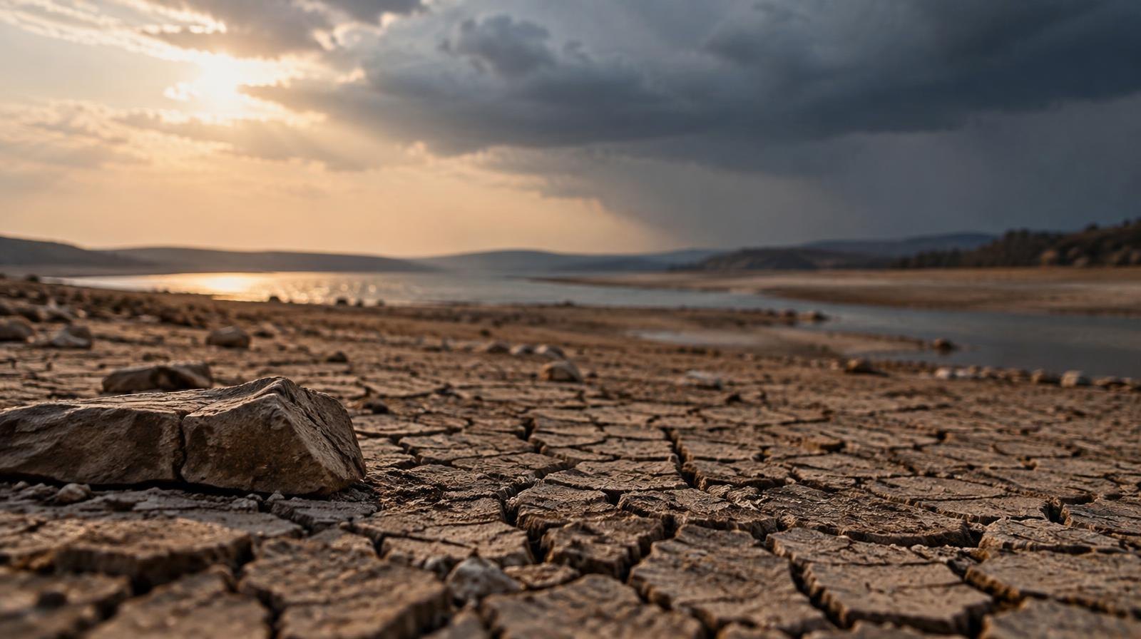
Lake Lewisville has dropped to 82.2% of its conservation capacity after the hottest, driest September on record in Denton County. Now a Flood Watch covers Flower Mound, Highland Village and the rest of the county as the first heavy rain since midsummer moves in.
The National Weather Service in Fort Worth issued the watch starting at 4 p.m. Wednesday, Sept. 30, running through Friday morning. Remnants of Hurricane Polo are expected to drop 2 to 4 inches across North Texas through Thursday night, with isolated totals up to 6 inches, NWS Fort Worth said on X. A few severe storms Wednesday evening could also bring hail and damaging wind.
The rain ends a punishing dry stretch. At Denton Enterprise Airport, the last measurable rainfall of 0.11 inches fell July 12. Nothing registered again until Sept. 26. That is 76 days without a drop, meteorologist Brad Barton reported in the Cross Timbers Gazette.
Barton, chief meteorologist at WBAP 820/93.3 FM and 570 KLIF, wrote that September's average high of 98.9 degrees topped the previous record of 95.4 degrees, set in September 2023, by more than 3 degrees. The month's average temperature of 87.3 degrees was nearly 2 degrees above the old mark of 85.5 from 2019. Records are still being finalized, but Barton called the numbers record-breaking "by all accounts."
Sept. 27 marked the 100th consecutive day with a high of 90 degrees or warmer. The National Weather Service said the previous record was 79 straight days, set during the deadly summer of 1980.
The drought left visible marks on the lake that borders both towns. State water data showed Lake Lewisville's water level about 3.9 feet below the conservation pool as of Wednesday. A year ago, the lake was at 96.1% capacity. It was full as recently as June 30.
Denton County Judge Andy Eads signed a Local Disaster Declaration on Aug. 25 citing wildfire danger, as FlomoBee reported. Flower Mound's Long-Term Water Conservation Plan has restricted automatic irrigation to two days per week, though the current status of those restrictions is unclear.
The concern now is that parched, hardened ground will shed water instead of absorbing it. William Baule, assistant state climatologist at Texas A&M University, told NBC 5 that dry soil can be less effective at absorbing water when large amounts fall quickly. Gov. Greg Abbott directed the Texas Division of Emergency Management to position more than 1,900 responders and 1,500 pieces of equipment around the state, NBC 5 reported.
"It's not uncommon for Texas weather to end a drought with a flood, and that's how things looked during the last week of September," Barton wrote.
Looking further ahead, NOAA's Climate Prediction Center projects above-normal rainfall for Texas from October through March 2027. Federal drought researchers say there is a 75% chance of the strongest El Niño since 1950 during October through December. The World Meteorological Organization said Sept. 3 the pattern is "firmly established" and near-certain to persist through February 2027. October averages 3.91 inches of rain in North Texas, the region's second-wettest month, according to NOAA data.
Barton warned residents to prepare for severe storms, possible tornadoes and what he called a "slowly increasing risk of flooding across North Texas" through fall and winter.
Upcoming community events
- Carter BloodCare hosts four October blood drives near Flower Mound. Details at flowermoundtimes.com.
- Marcus High School hosts Hebron on Friday in district football play.